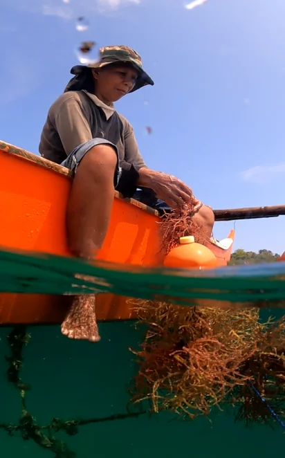
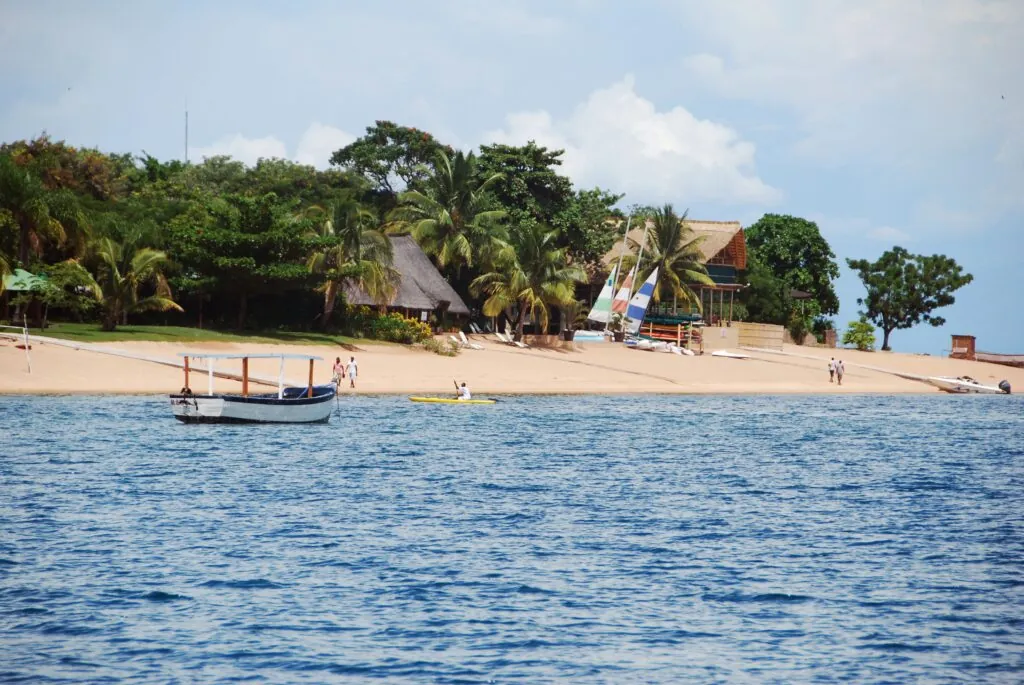
ABALOBI
An award winning modelling tool measuring nature’s impact on reducing coastal flood risk
Key Details
Project lead: Ocean Risk and Resilience Action Alliance (ORRAA)
Financial Innovation: Apps & Tech
Financial Support: AXA XL, the Government of Canada and the UK’s Blue Planet Fund.
Location: Global
Project timeline/status: Ongoing
Summary
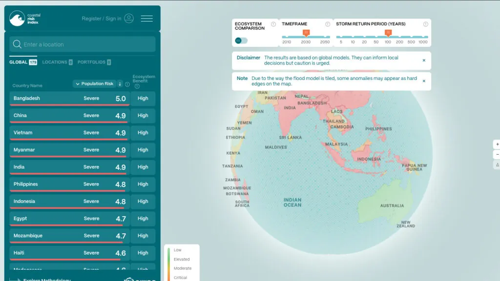
The Coastal Risk Index (CRI) is a data platform for policymakers, financial institutions and insurers to assess coastal risk and quantify the benefits of investing in nature as a solution. Launched during Climate Week NYC 2023, the CRI provides high-resolution data that shows how nature reduces risk for millions of people worldwide.
Without mangroves and reefs, the CRI estimates that 14.2 million more people would face flooding every year. The CRI helps people understand the value of coastal ecosystems, and with this insight, policymakers, investors, and insurers, can integrate them into risk assessments, investment decisions, and resilience strategies.
It supports more accurate insurance pricing, identifies where nature-based solutions offer the greatest return in risk reduction, and underscores the importance of proactive ecosystem management.
Challenge
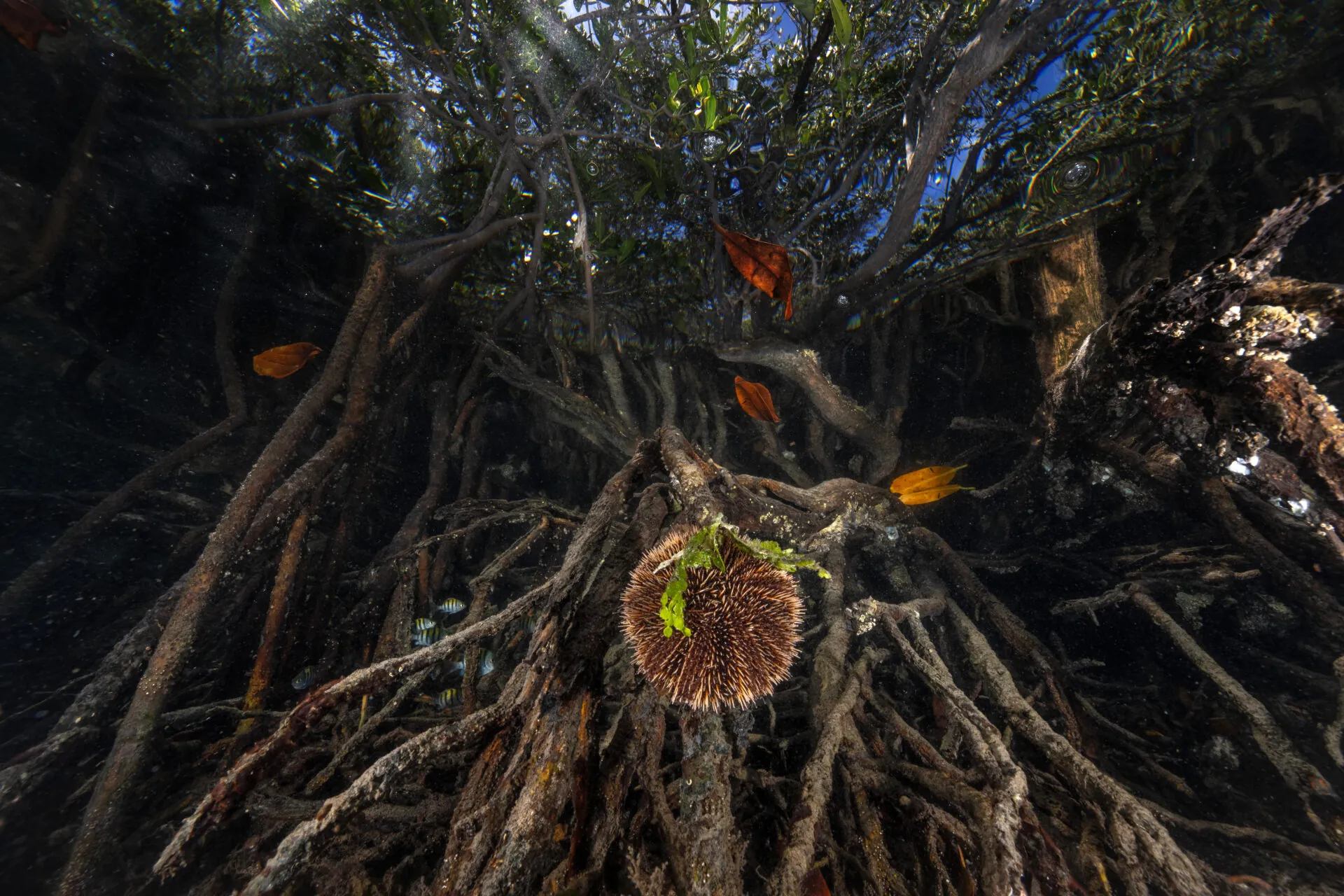
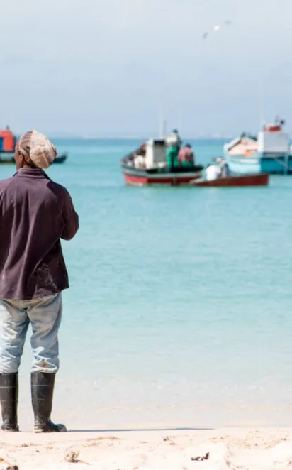
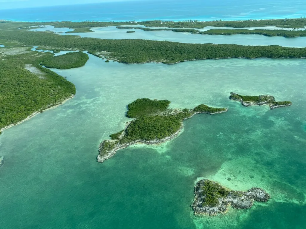
Climate change increases coastal hazards, and in so doing places coastal communities, infrastructure, and economies at greater risk. Natural defences like reefs and mangroves are often not integrated in traditional risk models, meaning their protective value is rarely included in policy or investment decisions. Without clear data, these ecosystems remain undervalued, underfunded, and increasingly degraded, leaving people more exposed to severe flooding and storm surges.
Solution
The CRI combines hydrodynamic modelling with social and economic vulnerability data to assess flood risk at a 90-metre resolution for potential scenarios in 2030 and 2050. It can map hazards with and without ecosystem protection, while also highlighting the direct benefits of reefs and mangroves for communities. By using this tool, decision-makers are able to design policies, investments, and insurance products that incorporate nature-based solutions for risk reduction.
Scalability and Next Steps
The CRI platform is already available for use by resilience practitioners, industry stakeholders, and governments. ORRAA and partners are now developing country-level case studies. Starting with the Dominican Republic, they will apply the tool’s data in local contexts and guide targeted resilience actions. Workshops will be held to refine the platform based on user needs and to expand its application worldwide, helping embed the value of nature into coastal planning and disaster risk strategies.
“The Coastal Risk Index makes the invisible visible, putting a clear value on the protection coral reefs and mangroves provide every day.” – Chip Cunliffe, Senior Director, Innovation and Pipeline Development, ORRAA